
March 31, 2011
Thursday
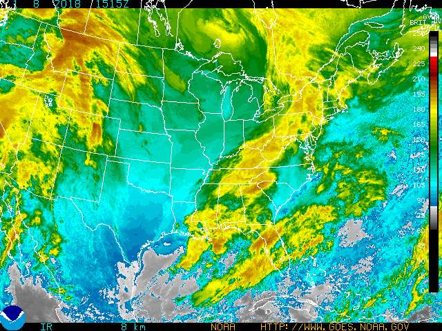
It is warmer than yesterday with a temperature around 40 F and a very slight wind coming from the SE. The skies are mostly cloudy with most of the clouds being stratus. There should be some rain later today with the low clouds and the wind coming from the SE, could start out as rain and turn to snow as the temperature cools. Tomorrow should be about the same with the skies being mostly cloudy and a chance of precipitation throughout the whole day and it should also be a little cooler, but not by much.
March 30, 2011
Wednesday
It continues to be sunny, clear, and cool outside. The temperature is a little warmer than yesterday, around 35 F and there continues to be a very slight wind coming from the NW. The skies are still clear because of the high pressure system in the area. Tomorrow should be about the same conditions with more cloud coverage, which should increase the temperature a little bit.
March 29, 2011
Tuesday

It is a little warmer than yesterday with a temperature around 30 F. There is still a very slight wind coming from the NW. The sky is partly cloudy, about 20% with most of the clouds being cirrus. Tomorrow should be about the same conditions with a few more clouds which could warm the temperature up a little bit more.
March 28, 2011
Monday
Today is a little cool with a temperature around 25 F. There is a very slight wind coming from the NE and continues to bring cooler air down from the north. The skies are clear in the area and there is currently no clouds in the sky which is also helping with the cooler temperatures. Tomorrow should be about the same conditions with a few more clouds in the sky, but not much.
March 18, 2011
Friday
Today is little cooler than yesterday because there are less clouds in the sky and the wind in coming from the NW. The temperature is about 25 F and there is a moderate wind from the NW bringing down cooler air. The sky is partly cloudy, around 70% with most of the clouds being stratus and cumulus types. Tomorrow should be a nice day with higher temperatures and less clouds because the wind is coming from the NW and should not have any precipitation.
March 17, 2011
Thursday
It is a little warmer than yesterday with a temperature around 50 F and also there is a little rain. There is barely any wind, but what wind there is it is coming from the South. The sky is overcast, about 90% cloud cover with most of the clouds being stratus and nimbostatus because of the rain occurring. Tomorrow should be cooler as some of the clouds will clear away and there should be no precipitation.
March 16, 2011
Wednesday
It is a little warmer than yesterday with a temperature around 40 F. There is a slight wind coming from the SE. The skies are mostly cloudy, about 60% cloud coverage with most of the cloud types being cirrus, cirrostatus, and there are also some altostratus clouds off to the west. Tomorrow should be about the same temperature with an increase in clouds and a chance of rain because of the wind coming from the SE and the cloud types in the area.
March 15, 2011
Tuesday
It is a little warmer than yesterday, about 35 F with a slight wind coming from the SE. The sky is mostly cloudy, around 70% cloud cover with most of the cloud types being cirrus and cirrostratus. There could be a chance of rain later on in the day because of the wind coming from the SE and clouds will also increase. Tomorrow should be warmer and cloudy with the winds to continue to come from the south, bringing in warm air.
March 14, 2011
Monday
Today is warmer than it has been recently, with the temperature around 30 F. There is moderate wind coming from the South which is bringing in some warmer air to the area. The skies are clear, around 10% cloud coverage and should increase later through the day. Tomorrow should be warmer with more cloud coverage and the winds should continue to come from the South. The forecasts predict rain tomorrow, but from what I see currently there should not be much, if any precipitation.

March 11, 2011
Friday
It is warmer today than yesterday with a temperature around 30 F. There is a moderate wind coming from the SE, which is bringing in warm air. The sky is overcast, about 100% cloud cover with most of the cloud types being stratus. With the wind direction coming from the SE, there is a good chance of precipitation to occur later today or tonight. Tomorrow the precipitation will still be occurring during the day and should stop later in the afternoon tomorrow. The temperatures should be cooler as the wind will change direction and bring in cool air from the north.
March 10, 2011
Thursday
The temperature is about the same as yesterday with it being around 20 F. There is a moderate wind coming from the NW which is bringing in some cool air. The sky is mostly clear, about 10% cloud cover and should increase later in the day and will help raise the temperature a little bit. Tomorrow should be warmer as more clouds move in and a change in wind direction coming from the south will bring in warmer air.
March 9, 2011
Wednesday
It is a little cooler than yesterday and currently snowing as predicted. The temperature is around 15 F and there is a moderate wind coming from the NW because of a high pressure system off to the north. The sky is complete overcast, 100% cloud cover with the cloud type being nimbostratus. The snow should continue throughout the day and then clear up by later tonight. Tomorrow should be a little warmer and partly sunny as some of the clouds will move out of the area once the snow system is done.
March 8, 2011
Tuesday
It is a little cooler than yesterday as predicted because some of the clouds have cleared away, temperature is around 15 F. There is a moderate wind coming from the NW because of a high pressure system in the north. The sky is overcast, about 90% with most of the cloud types being low stratus clouds. A lot of snow should fall later tonight because of the stratus clouds and the wind direction. Tomorrow snow should continue throughout most of the day and temperature should be a little cooler with higher winds coming from the north.
March 7, 2011
Monday
It is currently snowing a little bit and should continue to snow most of the day. The temperature is about 20 F and there is a moderate wind coming from the North due to a high pressure system in the north. There is overcast over the area, 100% cloud cover that is low stratus clouds and should be mostly cloudy all day. Tomorrow should be a little cooler as some of the clouds clear up and there should not be any precipitation occurring.
March 4, 2011
Friday
It has gotten a little warmer than yesterday and I thought it was going to be cooler, but I was wrong. The temperature is about 28 F and there is a slight wind coming from the North. It is mostly cloudy, close to 100% with most of the clouds being low stratus clouds. Tomorrow should be a little cooler as the clouds move out of the area and as the wind continues to come from the north.
March 3, 2011
Thursday
It is a little warmer today than yesterday as predicted because the winds changed direction and the cloud cover has increased. The temperature is about 20 F and there is a moderate wind coming from the SE. It is currently snowing out and there is overcast, 100% cloud cover with the cloud types being low stratus clouds. Tomorrow should be cooler once the snow system moves through and as clouds decrease. The wind with change direction and be coming from the north bringing cooler air into the region.
March 2, 2011
Wednesday
It has cooled down considerably since yesterday with temperatures around 2 F and should stay fairly cool all day. There is a slight wind coming from the NW because of a high pressure system bringing cool air from the north. The sky is mostly cloudy, around 60% cloud cover with a mixture of different cloud types ranging from cirrus to status clouds. With all the different cloud types and with the wind changing direction after the high pressure system moves through, there could be a good chance of snow along with a little warmer temperatures because the wind will be coming from the south.
March 1, 2011
Tuesday

Today is a little warmer than yesterday, around 25 F and should get a little warmer later on in the day. There is a slight wind coming from the South which is bringing warmer air into the region, instead of the cooler air from the north the past couple of days. There are not too many clouds around, about 30% cloud cover with most of the clouds being cirrus and cirrostratus. Tomorrow will be a little cooler because of a cold front moving into the area and also cold air coming from the north. Other than the cooler temperature, weather conditions should be about the same as today.
Subscribe to:
Posts (Atom)